If you are comparing Lake Oconee land tracts near White Plains, the biggest mistake is focusing on price per acre alone. Two properties with the same acreage can have very different value once you factor in zoning, utilities, septic viability, access, and the reality of lake rights. If you want to buy with confidence, you need to know what the land can actually support and what extra costs may come with it. Let’s dive in.
Why price per acre is only the start
In the White Plains area, land near the southeast side of Lake Oconee is not one-size-fits-all. The local landscape includes pasture, forest, and grassland, with development concentrated downtown and along Highway 15 and Main Street. Around the lake, Greene County zoning can vary by parcel, including agricultural districts, lakeshore residential districts, and planned development areas.
That matters because acreage alone does not tell you whether a tract is easy to build on, simple to access, or even suited for the use you have in mind. A lower-priced tract may look attractive at first, but if it needs added site work, has limited utility options, or comes with restricted lake access, the true cost can rise quickly.
What drives tract value near White Plains
The most important value question is simple: What does this acre actually buy you? In this part of Greene County, the answer often depends on build readiness more than lot size.
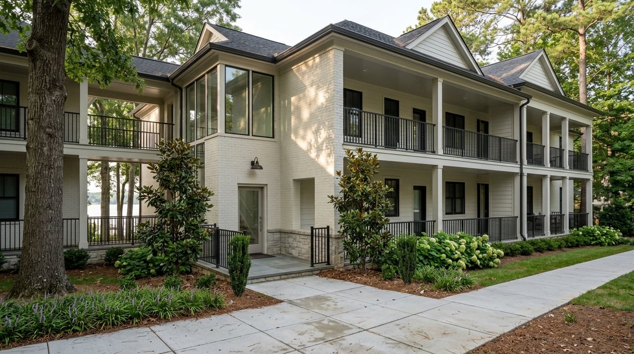
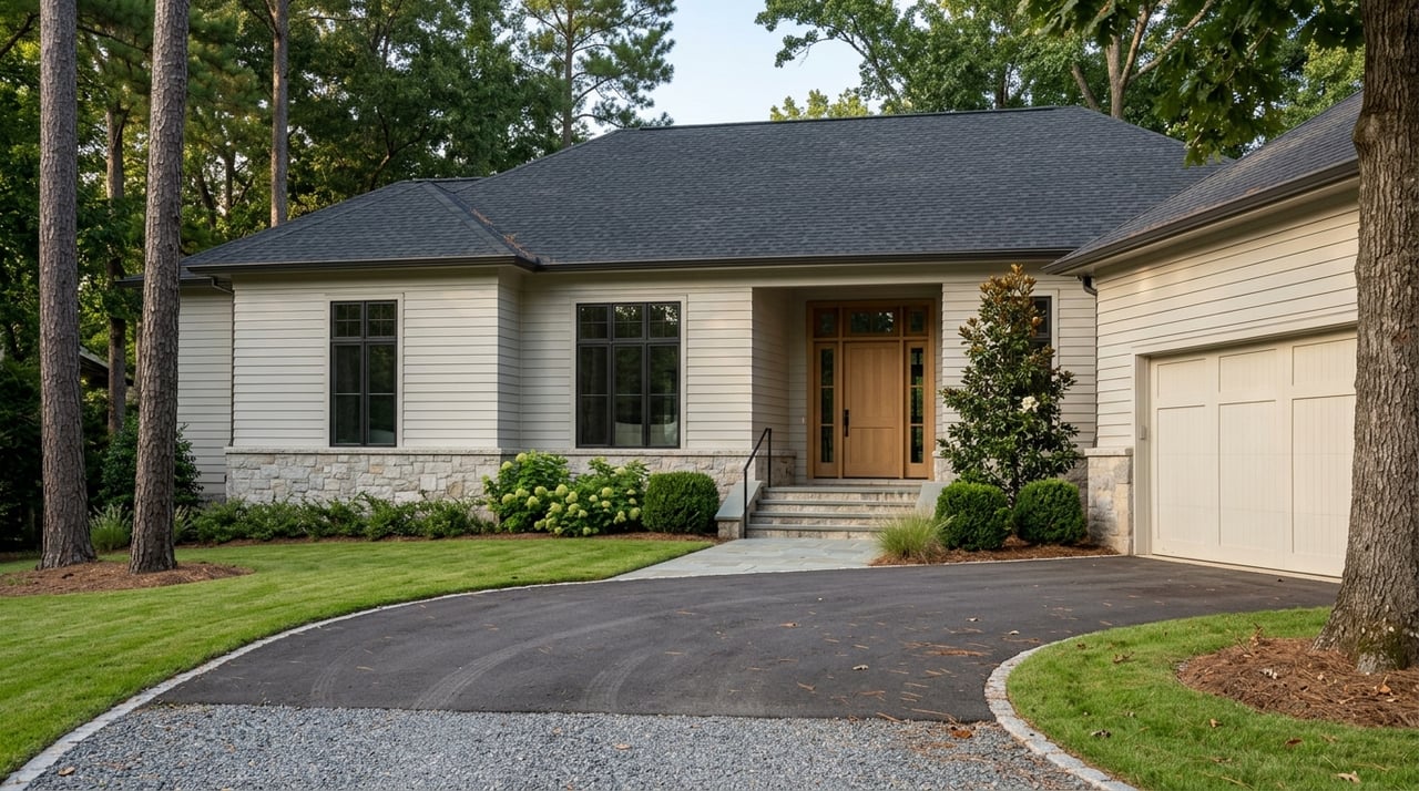
Recent local sales show a wide spread, from about $10,000 to $47,000 per acre. Larger raw acreage has sold near the low end of that range, while smaller lots with community lake amenities, public water context, underground utilities, and shared dock or ramp access have sold near the top.
Here is the practical takeaway. A tract with a cleared homesite, driveway, culverts, timber, pasture, and an approved perk test can command more than a larger parcel that is still completely raw. In other words, improvements and approvals can matter just as much as size.
Check zoning before you assign value
Zoning is one of the first things to verify on any tract near Lake Oconee. Greene County’s official zoning map around this area includes multiple districts, and each parcel can come with different development rules or limitations.
You should not assume two nearby tracts have the same zoning just because they are close to each other. A parcel-specific review is essential, especially if you are planning a custom home, a recreational retreat, or a longer-term investment hold.
Greene County GIS notes that QPublic has the most up-to-date parcel zoning, which is a reminder to cross-check GIS data, tax records, and the recorded plat. That extra step can help you avoid overpaying for land that does not match your intended use.
Utilities can change the value quickly
Utility availability is a major pricing factor in the White Plains submarket. White Plains provides water and fire protection, and the city has extended water service to some unincorporated areas east of the city limits. But public service is not universal.
Greene County’s Water and Sewer Service Area policy states that properties outside the service area are generally not provided public water and sewer by the county, except for narrow exceptions. The city plan also notes that most of White Plains and most unincorporated areas remain unserved by broadband.
That means you should treat utilities as something to verify, not assume. A tract with confirmed water availability may deserve a premium over a similar-looking parcel that depends on a well and septic system.
Septic approval is often a gatekeeper
For many rural and lake-area tracts near White Plains, septic viability is a make-or-break issue. Greene County states that lot standards may be increased to accommodate septic tanks and wells, and that the unavailability of public sewer or water can preclude projects that cannot use septic tanks.
If a parcel will rely on on-site septic, Greene County says a septic letter or perc test is needed. That makes septic approval more than a technical detail. It is often a key driver of whether the land is realistically buildable.
When you compare tracts, ask whether septic has already been tested or approved. If it has, you may be looking at a tract with less uncertainty and potentially stronger value.
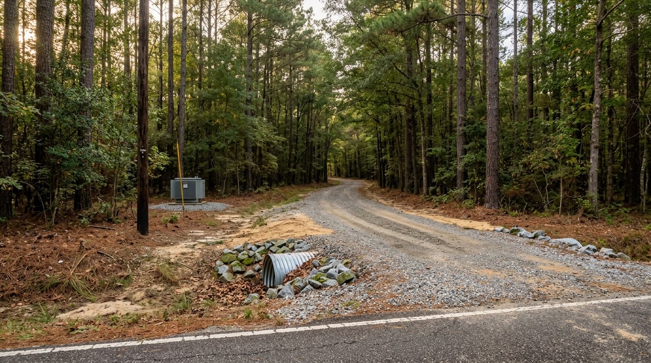
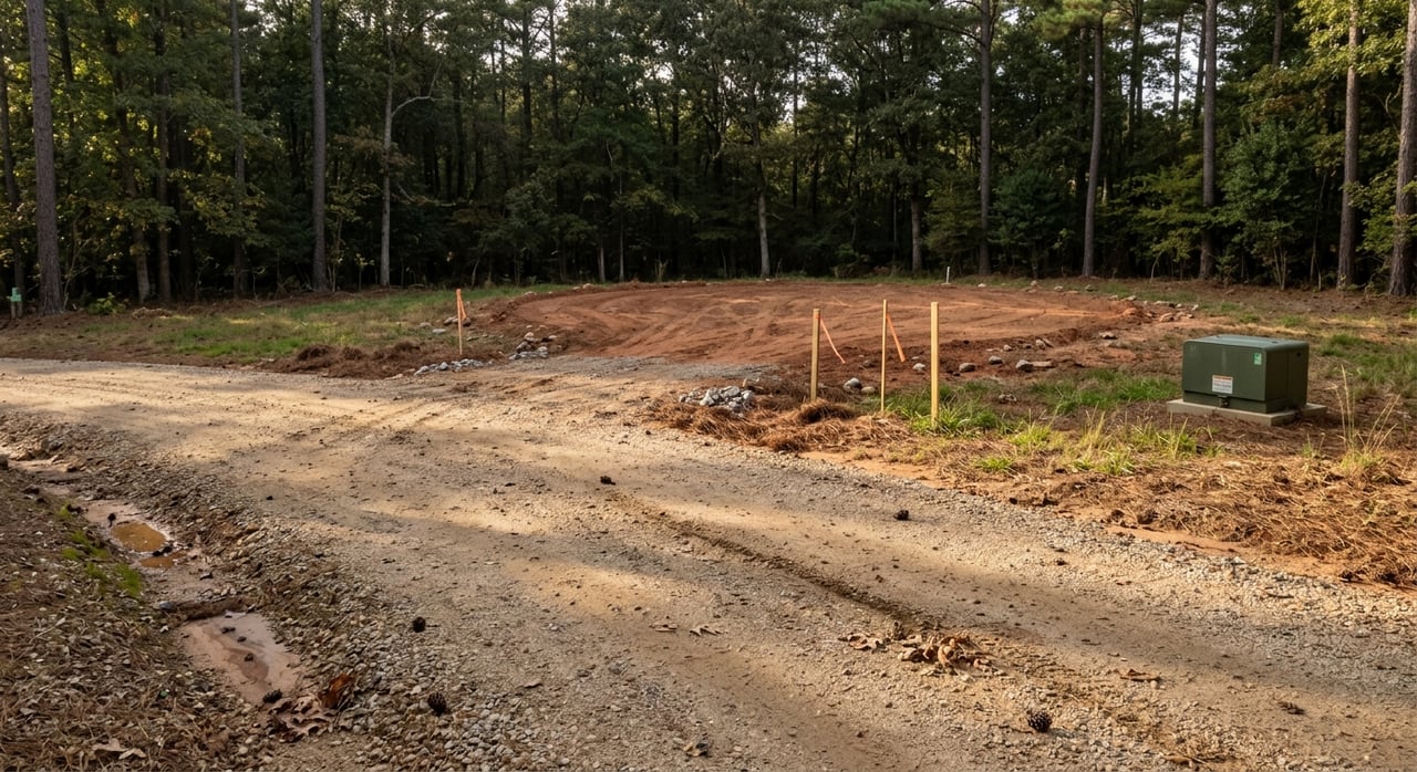
Topography, clearing, and drainage affect build cost
A land tract may look beautiful from the road and still be expensive to build on. Around White Plains, lots can be level, sloped, wooded, cleared, or a mix of pasture and timber, and those differences can have a direct impact on your budget.
Level land may support a simpler driveway and foundation plan. Sloped or heavily wooded tracts may require more grading, clearing, and drainage work before construction even begins.
A good starting point is to review topographic information and then pair that with an on-site survey. This helps you understand contours, likely driveway placement, and how much site preparation may be needed before you can assign a fair value.
Access and permits matter more than many buyers expect
Legal and physical access can affect both usability and cost. If a future driveway connects to a state highway, the owner must work through GDOT. If the access point is on a county road, Greene County’s driveway process applies.
Site work can also trigger permitting requirements. Greene County requires an erosion, sediment, and pollution control plan, a land disturbance permit, and in some cases a septic letter if a project disturbs more than one acre or is within 200 feet of state waters. An NOI to EPD is also required with a 14-day waiting period in those cases.
This is why raw land should never be valued as if it is ready to build unless the access and permitting path have already been reviewed. A tract may be attractive, but delays and added engineering can affect the real purchase decision.
Floodplain review should be part of your due diligence
Before you treat any tract as fully buildable, check flood-hazard maps and local drainage conditions. FEMA’s Flood Map Service Center is the official source for flood map review, and that should be part of your process before closing.
Flood status is not the only issue. Even outside mapped flood zones, local drainage patterns can still affect where you place a home, driveway, or septic field. This is another reason one parcel may deserve a much different value than a nearby tract with similar acreage.
Lake access is a legal question, not just a map question
One of the biggest valuation mistakes near Lake Oconee is assuming that proximity to the water equals the same kind of lake access. It does not. In many cases, the real value difference comes from whether access is deeded, shared, leased, or controlled through utility rules.
Georgia Power manages Lake Oconee shoreline through a fee-simple strip and shoreline management guidelines tied to its FERC license. Its land management materials note that the project boundary follows the 435-foot contour plus a buffer, and that no residences or permanent structures are allowed inside that project boundary except permitted shoreline structures.
That means a parcel near the lake may not carry the shoreline rights you expect. Georgia Power also notes that more than 3,500 shoreline parcels are leased by residents for lake access, which shows how common it is for access to be operationally different from outright deeded ownership.
Evaluate shoreline lots at more than one water level
Lake Oconee shoreline value can also shift based on water conditions. Georgia Power notes that lake elevations are subject to change and dam releases can change without notice.
That is why shoreline and access lots should be evaluated at more than one water level. A property that looks ideal on one visit may function differently under other conditions, especially if your priorities include boating, dock use, or shoreline enjoyment.
If a tract is marketed with lake access, ask for clarity. You want to know whether the access is direct, shared, leased, or tied to community amenities such as ramps, marinas, docks, or storage areas.
What local sales suggest about land value
The most useful pattern in recent White Plains land sales is that amenities and readiness often outweigh raw size. Larger acreage tracts have traded near the lower end of the range, while smaller lots with community dock access, boat ramps, underground utilities, or public water context have achieved much higher per-acre prices.
For example, a 21.76-acre raw tract sold at roughly $10,110 per acre. By contrast, smaller lots in communities with features like shared docks, ramps, and storage reached roughly $20,000 to $47,000 per acre.
That spread supports an appraisal-style way of thinking. Instead of asking only, “How many acres am I getting?” ask, “How ready is this parcel for my actual use?”
A smart checklist for comparing tracts
When you evaluate land tracts near White Plains, keep this checklist in front of you:
- Confirm parcel-specific zoning
- Verify whether the tract is inside the county Water and Sewer Service Area or served by city water
- Ask whether septic approval, a septic letter, or a perc test already exists
- Review topography, drainage, and clearing needs
- Confirm legal and physical access to the tract
- Ask whether grading or clearing will trigger county or state permits
- Check flood maps and on-site drainage patterns
- Clarify whether lake access is deeded, shared, leased, or community-based
- Verify whether any shoreline rules or utility controls affect future use
- Compare the tract to recent local sales based on readiness, not just acreage
Why appraisal-backed guidance matters
Land valuation around Lake Oconee can get complicated quickly because so much depends on facts that are easy to miss in a listing description. Utility access, septic viability, topography, shoreline controls, and community amenities all shape what a tract is really worth.
That is why an appraisal-minded approach is so valuable. It helps you move beyond surface comparisons and focus on the factors that truly affect usability, cost, and long-term value.
If you are weighing land tracts near White Plains and want a clear, evidence-based view of the options, The Howard McMichael Team brings local market knowledge and appraisal-backed guidance to help you evaluate what each acre really offers.
FAQs
How should you evaluate Lake Oconee land tracts near White Plains?
- Start with zoning, utilities, septic viability, topography, access, flood status, and lake-access rights before you rely on price per acre.
Why does price per acre vary so much for White Plains land?
- Recent local sales suggest the spread is driven by build readiness, utility access, septic approval, lake-access rights, and community amenities more than acreage alone.
Do White Plains area land tracts always have public water or sewer?
- No. Some areas may have city water access, but many tracts require parcel-specific verification because public service is not available everywhere.
Why is septic approval important for Greene County land?
- In many rural tracts, septic approval is a key buildability requirement, and Greene County notes that projects may be limited if public sewer and water are unavailable.
What does lake access mean for land near Lake Oconee?
- Lake access can be deeded, shared, leased, or tied to community amenities, so you should confirm the exact rights before assigning value.
Should you check flood maps for land near White Plains?
- Yes. FEMA flood maps are an important screening tool, and local drainage should also be reviewed before you assume a tract is fully buildable.