Have you ever toured a Lake Sinclair home in winter and wondered why a dock sat high and dry or why the shoreline looked different from summer photos? You are not alone. Water levels on Lake Sinclair change throughout the year for several reasons, and those changes can affect how you use a property. In this guide, you will learn what drives lake levels, what to expect by season, and how to evaluate docks, boats, and shorelines with confidence. Let’s dive in.
What drives Lake Sinclair levels
Lake Sinclair is a reservoir on the Oconee River created for hydroelectric generation. The lake’s operator manages water for power production, recreation, and environmental needs, within federal and state rules. That balance creates normal ups and downs in water levels.
Why the utility lowers the lake
Sometimes the operator schedules a planned drawdown. These typically happen in late fall or winter, when boating slows and shoreline work is easier. Drawdowns support dam maintenance, shoreline repairs, and other projects that are safer and more efficient at lower water.
Other forces you cannot control
- Rainfall and runoff: Seasonal precipitation and storms raise or lower inflows more than anything else.
- Hydropower releases: Daily or weekly generation can cause small, short-term fluctuations.
- Drought: Extended dry periods can keep levels below normal for weeks or months.
- Environmental and flood needs: Releases may be required to protect downstream flows or manage flood risk.
Federal and state agencies oversee operations through licensing and environmental conditions, and local agencies influence permits, boating safety, and shoreline rules.
Seasonal patterns and drawdowns
Every year is different, but there are common patterns. After rainy periods, levels tend to be higher. During dry spells or planned maintenance, you may see lower water.
What to expect by season
- Late fall to winter: Planned drawdowns are most common, and you may notice exposed shoreline, more vegetation at the edges, and longer steps down to a floating dock.
- Spring: Levels often rebound with seasonal rains, and access to shallow coves can improve.
- Summer: Expect active recreation and smaller day-to-day changes, unless there is drought.
How deep do drawdowns go
Drawdowns vary. Some years you may see only inches to a foot of change, other years a few feet or more. The exact depth and timing are project specific. For any given season, follow official notices for the most accurate expectations.
What low water means at home
Lower water affects docks, boats, and shorelines in different ways. A smart plan balances design, safety, and long-term maintenance.
Docks and lifts
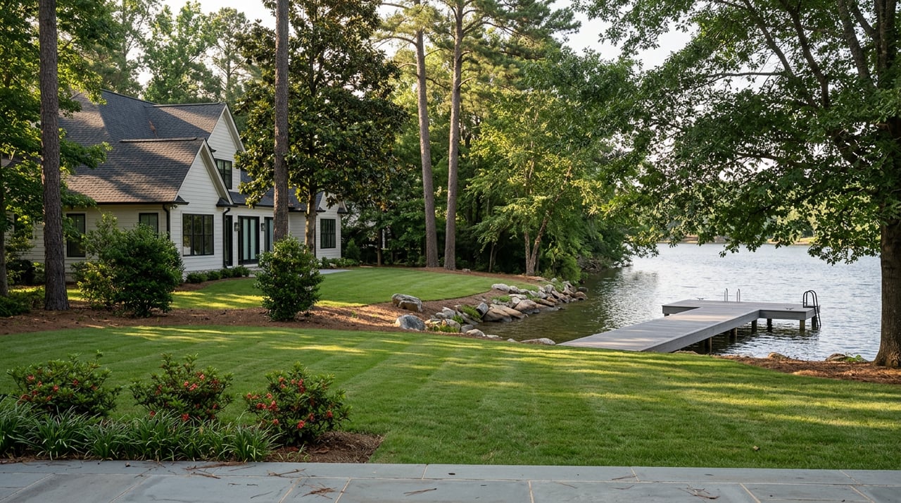
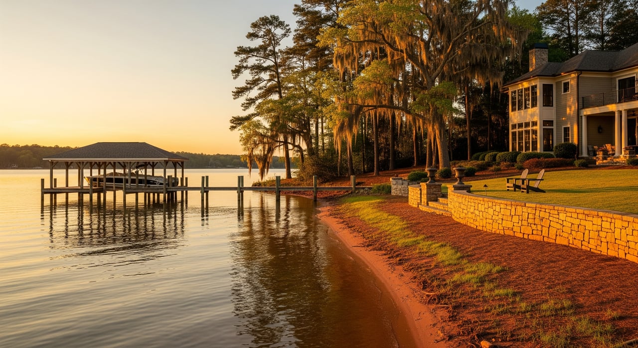
When water is low, you may see exposed pilings, visible waterlines on posts or bulkheads, and longer gangway angles. Boatlifts can sit above the water if they are not adjustable.
Design choices that help:
- Floating dock sections that adjust automatically with level changes.
- Taller pilings and longer gangways for safe access at lower water.
- Adjustable hoists on lifts to keep boats clear and dry.
- Fixed docks designed to a conservative low-water elevation for stability.
Buyer tip: Ask for recent depth measurements at the end of the dock during both low-water and normal conditions. Confirm that the dock is permitted, who maintains it, and whether any HOA rules govern upgrades or replacements.
Boat draft and navigation
Draft requirements differ by boat type. Canoes, kayaks, and jon boats need very little depth. Many runabouts operate best with 1.5 to 3 feet of water, and larger V-hulls or cruisers need more. Always check your manufacturer’s specs.
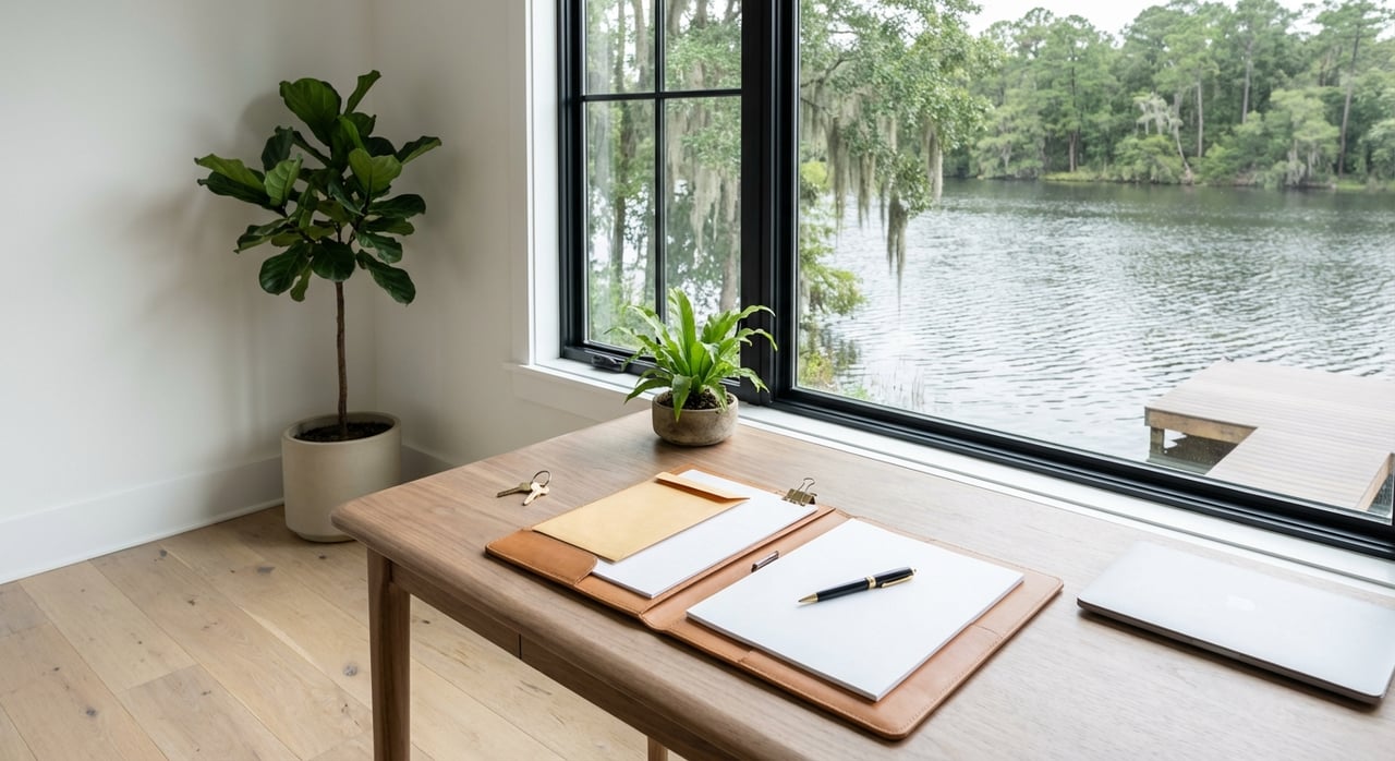
Local navigation can change when levels drop. Shallow coves may become restricted, rocks or stumps can sit closer to the surface, and some ramps that work at full pool may be unusable at low water. If you plan to keep a boat at a property, ask for measured depths both at the dock and along the route to the nearest main channel during recent low-water conditions.
Shoreline use and aesthetics
Swimming areas can shift when levels fall, and soft or muddy flats may appear where you expect a beach. Aquatic plants often expand into newly exposed shallow water. That can improve some fishing, but it can also limit access to favorite spots. Repeated fluctuations can stress retaining walls and riprap, so periodic inspection is wise. From a curb appeal standpoint, expect more exposed lakebed and lower docks in winter. Set expectations with buyers and visitors by showing photos from different seasons.
Utilities, insurance, and permits
Dock and shoreline projects usually require county or state permits. Replacement, expansion, or the addition of a lift should be researched in advance. Standard homeowners insurance may cover your residence and certain structures, but it does not replace regular dock maintenance. Lenders may ask for evidence of stable, usable access when waterfront is central to value. Property boundaries and riparian rights can be complex. If you have title or boundary questions at the waterline, consider legal counsel.
Winter tours and inspections
Touring Lake Sinclair homes in winter can be a benefit. Lower water helps you see structure, shoreline shape, and navigational depth more clearly.
Here is how to make the most of a cold-season visit:
- Walk the entire shoreline. Look for exposed stumps, shelf edges, or erosion.
- Inspect pilings, brackets, gangways, and electrical components on the dock.
- Take depth readings at the end of the dock and along the path to open water.
- Photograph the dock from multiple angles to record current low-water conditions.
- Ask for seller records of historical levels, drawdown notices, and prior repairs.
- Confirm permit history for the dock and any shoreline stabilization.
- If you own or plan to buy a boat, compare its draft to measured depths.
A clear winter inspection builds confidence for summer use and supports a well-informed offer.
Checklists
Pre-purchase checklist
- Ask the seller or HOA for lake level records from the last 12 to 36 months and any drawdown notices.
- Get a dock depth survey for both low-water and normal conditions.
- Verify dock permits, ownership, maintenance responsibility, and overall condition.
- Confirm the usability of ramps and the route from the dock to the main channel during recent low-water periods.
- Ask about historical shoreline repairs, erosion control, and dates of major work.
- Speak with nearby marinas or neighbors about typical winters and drought impacts.
- Match your boat’s draft to measured depths at the dock and along access channels.
- Review county and state permitting rules before planning future dock or shoreline work.
Owner care checklist
- Subscribe to operational alerts from the lake operator.
- Consider adjustable or floating dock components if levels vary at your location.
- Schedule shoreline stabilization during planned drawdowns if allowed by permit.
- Keep records of permits, repairs, and measured depths at the dock over time.
- Monitor aquatic plant growth and consult local marine contractors if access becomes limited.
Where to get reliable updates
A few sources will help you stay ahead of changes:
- Lake operator alerts: The utility’s lake page and announcements list planned drawdowns and maintenance schedules. Subscribe to notifications.
- U.S. Geological Survey: Real-time gauges and historical data show recent trends in flows and lake stage.
- National Weather Service: Forecasts and hydrologic outlooks help you anticipate inflows.
- Georgia agencies: The Department of Natural Resources provides boating rules and safety info. The Environmental Protection Division covers permits for work in state waters.
- Local government: Baldwin County and the City of Milledgeville maintain planning and permitting records that may apply to docks and shoreline projects.
- Community sources: Local marinas and property-owner groups share practical updates about shallow coves and access conditions.
Bookmark these resources and check them before planning projects or big outings.
Pricing and resale considerations
Water-level variability is normal for reservoirs and does not automatically reduce value. What matters most is practical usability at your specific property. Proven depth at the dock, safe access to the main channel, and a permitted, well-designed dock are all positives. On the other hand, ongoing access problems or unpermitted structures can impact marketability.
If you plan to sell, share seasonal photos, depth measurements, and maintenance records to help buyers see the full picture. If you plan to buy, ask for the same. Objective documentation supports confident decisions and fair pricing.
Plan your next steps
If you want to understand how seasonal levels will affect your specific shoreline, dock, or boat plan, bring in a local advisor who blends valuation expertise with on-the-water perspective. Whether you are comparing lots in a shallow cove or prepping a luxury lake home for market, you deserve data and clear guidance.
Ready to evaluate a Lake Sinclair property with confidence? Contact The Howard McMichael Team to discuss appraisal-backed pricing, buyer representation, and a strategy tailored to your goals.
FAQs
Who manages Lake Sinclair levels and why
- The lake’s operator manages levels for hydropower, recreation, and environmental needs under federal and state oversight, which can require planned drawdowns.
When are drawdowns most likely
- Late fall to winter is common for scheduled drawdowns because recreational use is lower and shoreline work is easier during that period.
Will my dock be usable year-round
- It depends on measured depth at your dock, historic low-water conditions, and dock design; get a depth survey and review recent level records for your cove.
How much water does my boat need
- Shallow craft need very little depth, while many runabouts operate best in 1.5 to 3 feet or more; match manufacturer draft specs to measured depths at your property.
Where can I find official updates
- Follow the lake operator’s announcements, check USGS real-time gauges, review NWS forecasts, and consult Georgia DNR and EPD resources for safety and permitting.
Do I need permits for dock or shoreline work
- Most dock replacements, expansions, lifts, and shoreline stabilization projects require county and state permits; verify requirements before starting any work.
Do low water levels hurt property value
- Persistent access issues can influence value, but normal seasonal changes are expected; document usability with depth measurements, permits, and maintenance records.